Firmware 1.12+ runway setup
Runway Command Builder
Click both runway endpoints on the map, enter the width, then copy the exact command into the FPVtoys CLI.
If this message stays visible, check the browser console and API key restrictions.
How It Works
- 1. Find runway
Zoom to the airport and switch to satellite view if needed.
- 2. Click both ends
Click the centerline point at each runway threshold.
- 3. Set width
Enter the width manually, or click both runway edges to calculate it.
- 4. Copy commands
Paste the generated lines into the FPVtoys CLI, then verify on the map.
If you want to do it manually
As of firmware version 1.12, runways are much easier to add.
You need the endpoints of each end of the runway and the width.
Using Google Maps, find the runway you want to add. Right-click on the center point of one end of the runway and click on the coordinates. This will copy them to the clipboard. Paste those into a text editor.
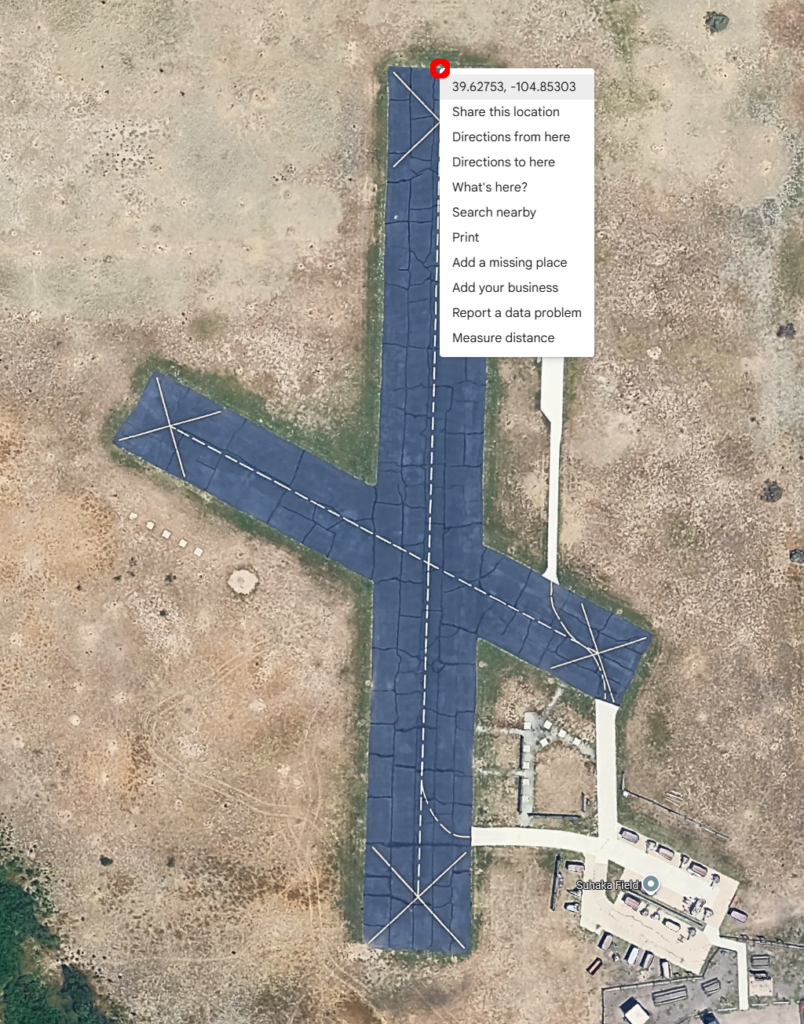
Select the center point of the other end of the runway, and do the same thing.
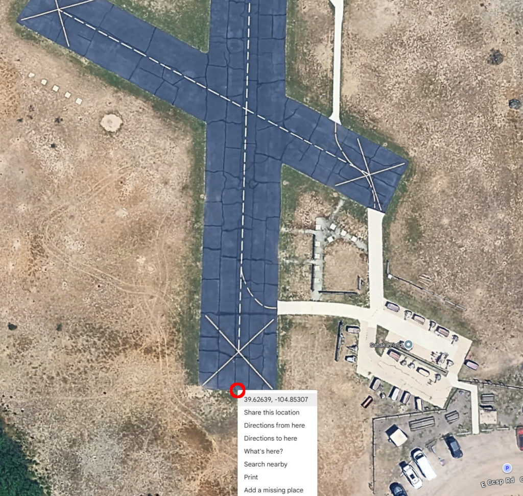
Then measure the width of the runway and write that down.
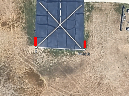
You should end up with something like this:
39.627531940314306, -104.85303169682842, 39.62638562287004, -104.85307061749161, 50
Add a four-letter airport designator to the beginning and copy that. In the CLI, use the runway command followed by the data:
runway CHER 39.627531940314306, -104.85303169682842, 39.62638562287004, -104.85307061749161, 50
The runway is entered. Type map save to save the runway.
For Firmware version 1.0 to 1.11
For firmware version 1.0 to 1.11, use this format. In Google Maps, go to the runway you want to add. Use the Measure distance tool and measure the distance down the center of the runway. Save this value for the distance. This example shows 418 feet.
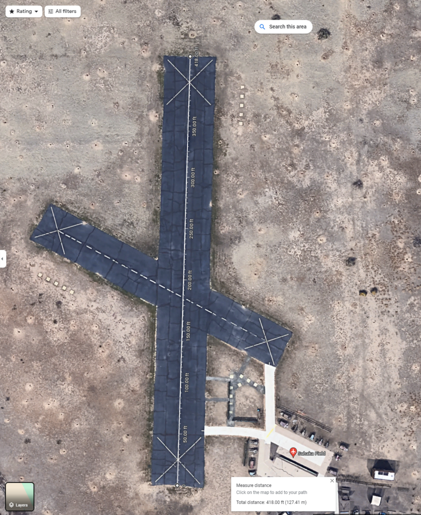
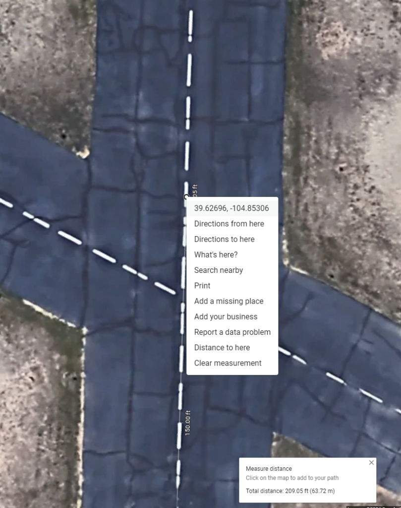
Next, shorten the line to exactly half the value, then right-click the point and copy the coordinates. This is the midpoint and is used by the map. This example is 39.62696, -104.85306.
Also get the coordinates for the start and end points. These will be used to calculate the direction of the runway.
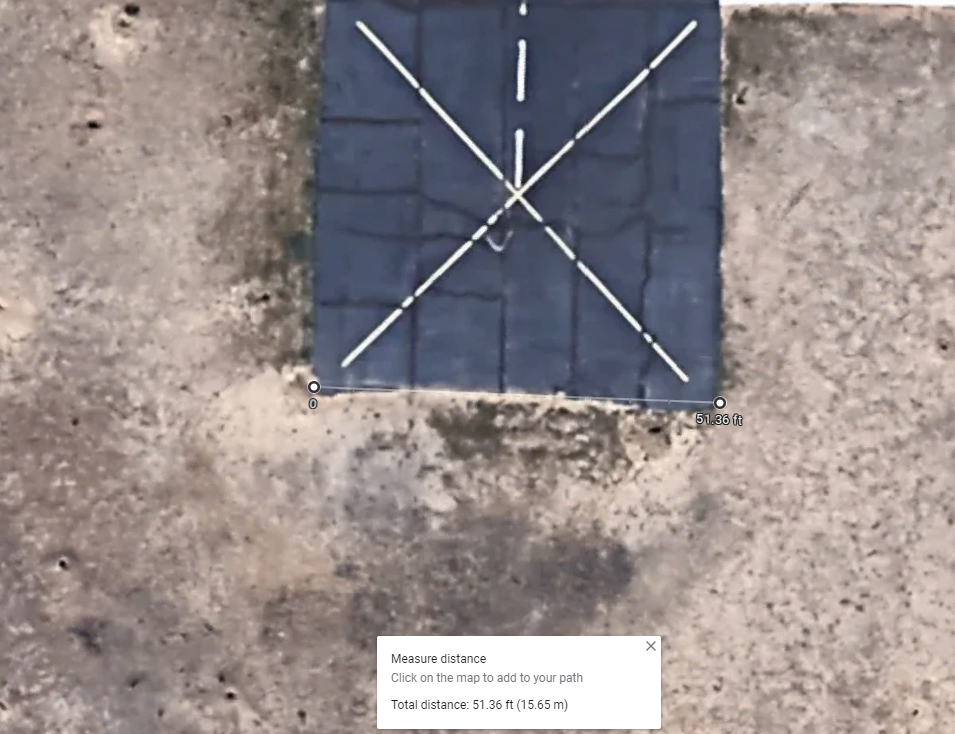
Next measure the width of the runway. This example is 51 feet.
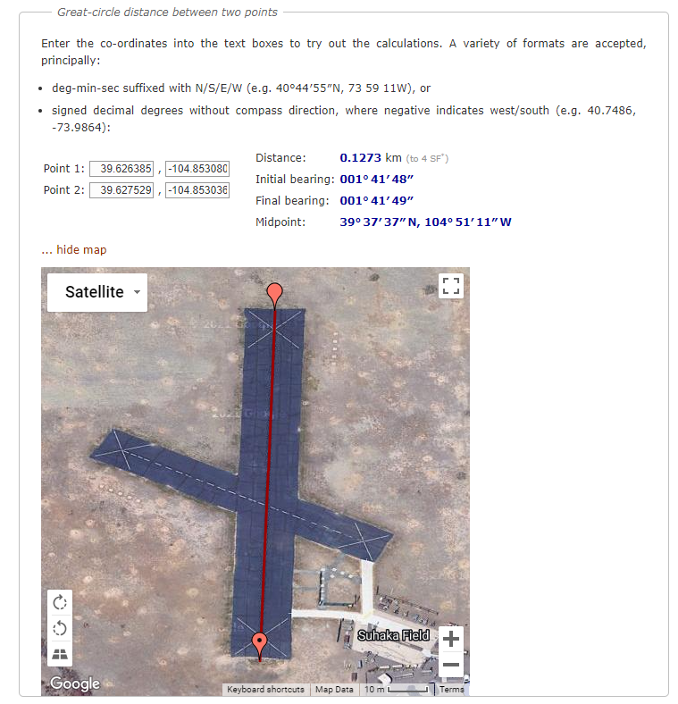
Go to this website https://www.movable-type.co.uk/scripts/latlong.html and enter the endpoint coordinates. It will give you the bearing of the runway. You can display the map to verify the coordinates are correct.
This direction is between 1 and 2 degrees. Either value will work.
In the CLI, enter the airport abbreviation and runway name. These are displayed in the G1000 display when selecting an ILS approach. Then enter the latitude, longitude, direction, length, width, and letter if it is a parallel runway.
>runway CHER 36 39.626957 -104.853056 1 418 51
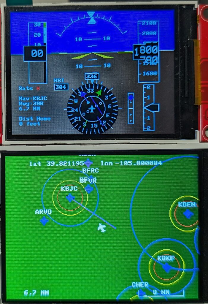
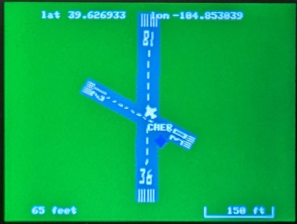
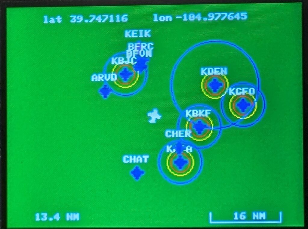
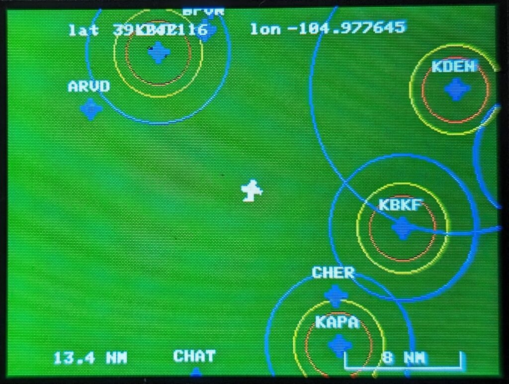
After entering both runways, this is what you will see when you fly over it, either actually being there or in the simulator.
Other runway examples
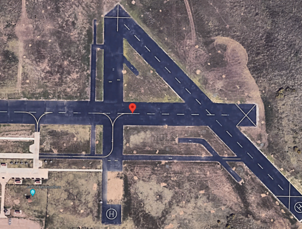
Rocky Mountain Metro Airport is a real airport.
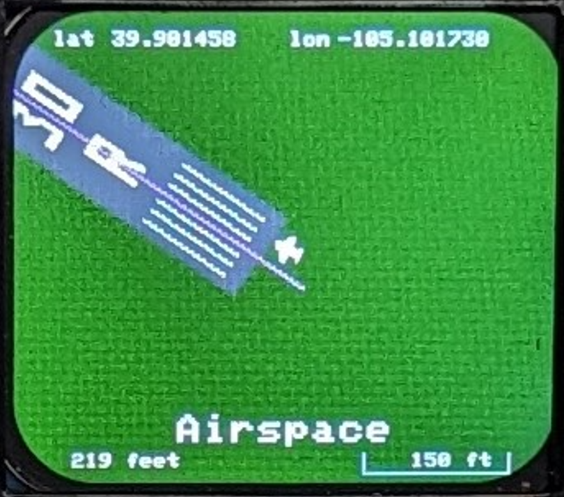
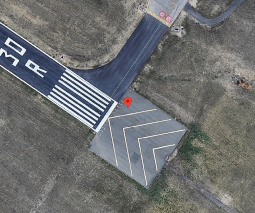
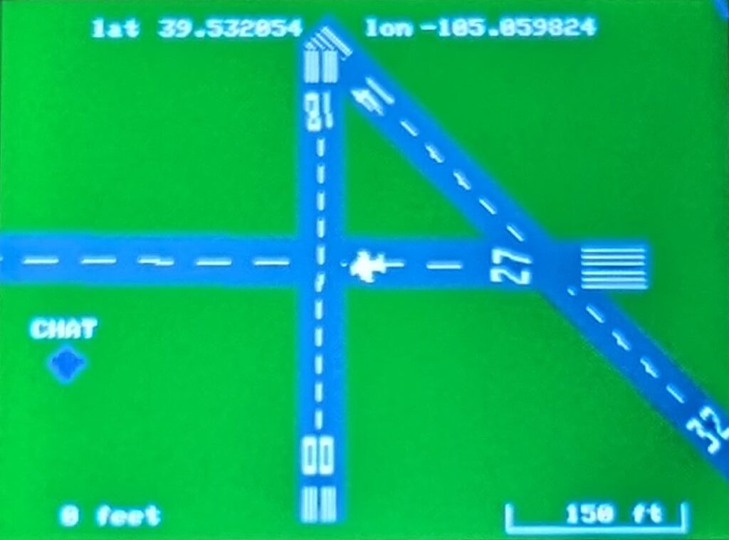
Map of the Denver area with a Class B, 4 Class D, and an uncontrolled airport. There are also 5 RC fields on the map. The second picture is zoomed in one level.
ILS approach selected.